Nearly 776,000 Homes at Extreme Risk of Wildfire Damage This Year
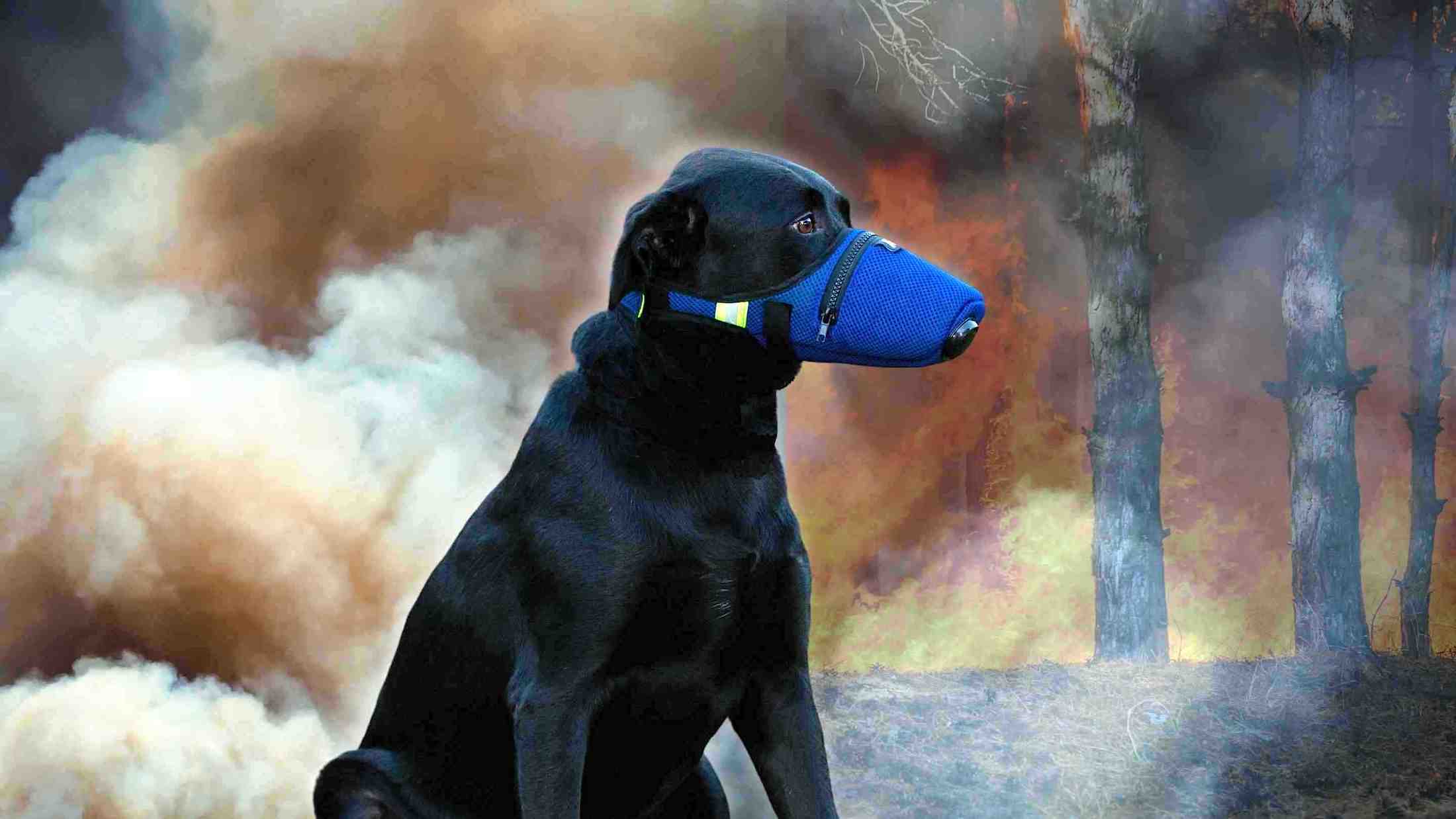
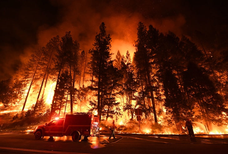
Over the past several years, the United States has experienced record-breaking wildfires. In 2018 alone, 8,767,492 acres burned, roughly equivalent to 74 of the 75 largest cities in the United States combined. This is the sixth highest total since modern historical records began in the mid-1900s.
There is no state that is completely free from wildfire risk, but historic wildfire data indicates that the 13 Western states are the most commonly affected and have an expectation of property losses due to wildfire.
CoreLogic, a leading global property information, analytics and data-enabled solutions provider, today released its 2019 Wildfire Risk Report, which finds nearly 776,000 homes with an associated reconstruction cost value of more than $221 billion at extreme risk of wildfire damage.
California metropolitan areas comprise a significant portion of the top 15 regions with the most homes at risk, with the Los Angeles, Riverside and San Diego metropolitan areas ranking as the top three high-risk areas, respectively. These regions are home to more than 42% of residences at high-to-extreme wildfire risk in the top 15 metropolitans and also claim more than 51% of the total reconstruction cost value in this group.

“It’s no surprise that California tops the list of the most homes at high-to-extreme wildfire risk, given the state’s size and population density, as well as the popularity of residential expansion into the wildland urban interface,” said Tom Jeffery, senior hazard scientist at CoreLogic. “The high density of homes located in wildfire-susceptible areas only increases the threat of future catastrophic events and the possibility of billion-dollar losses.”
The CoreLogic Wildfire Risk report analyzes homes currently at risk of wildfire damage in the western United States, including Arizona, California, Colorado, Idaho, Montana, New Mexico, Nevada, Oklahoma, Oregon, Texas, Utah, Washington and Wyoming. The report also provides a breakdown of the significant wildfire events of 2017 and 2018.
The report found 2018 was another record-breaking year for the country, with 8,767,492 acres burned—a size roughly equivalent to 74 of the 75 largest cities in the United States combined. This is the sixth-highest total since modern historical records began in the mid-1900s. California, Nevada and Oregon topped the list for most acreage burned in 2018, with a combined total of 3.72 million acres burned in the three states. In California, 2017 and 2018 caused more wildfire-related property damage than the state has experienced in any two consecutive years of its history.

“The past few years of wildfire activity tell us we’re not only seeing a continuation of the intense fires and associated destruction in the United States, but an escalation of these events,” said Shelly Yerkes, wildfire senior product manager at CoreLogic. “The continuing presence of the factors responsible for recent wildfires are an ominous indicator that the coming years could see more of the same record-breaking destruction.”
For an interactive version of the 2019 Wildfire Risk Report, which includes maps, charts and images, visit this link.
To follow CoreLogic coverage of 2019 wildfires, visit the company’s natural hazard risk information center, Hazard HQ™, at www.hazardhq.com.
Austin Ranks In The Top Five Cities In The U.S. For Potential Wildfire Damage
A new report from a California-based market research firm finds that Austin ranks fifth in a list of cities facing the highest reconstruction costs due to potential wildfire damage.
Researchers with CoreLogic found that 53,984 Austin residents live within an area designated as having a high-to-extreme wildfire risk, representing the potential for roughly $16 billion in reconstruction costs.
The four cities outpacing Austin are all in California – Los Angeles, Riverside, San Diego and Sacramento.
“As Austin expands outward, obviously it's growing into areas where you have a lot of brush, a lot of vegetation growth,” says CoreLogic senior hazard scientist Tom Jeffery. “If a wildfire were to occur, there’s a lot that’s going to fuel that fire and it can turn into a large fire — not only physically large, but intense.”
According to the same report, 569,811 acres burned in 2018 in Texas – while nearly double that amount burned in California in the same year.
Jeffery says that while residents in California may be more aware of the threat of wildfire because of the frequency of them, Texans should still consider wildfire an active threat. He cited the Bastrop County fires from 2011, which destroyed 1,600 homes and killed two people.
“Like any hazard, if it doesn’t happen for a few years people start to not think about it as being as important,” says Jeffery.
Earlier this week, Austin city council members approved nearly $3.5 million for wildfire mitigation in their latest budget.
You can find your wildfire risk using this tool developed by the Texas A&M Forest Service.
Methodology
To determine residential exposure value, CoreLogic parcel-level data is paired with the proprietary CoreLogic Wildfire Risk Score to identify every property contained within each separate wildfire risk category. After matching each residential property to a structure valuation, the values are totaled by risk category within individual geographic areas. The final results illustrate the total number of residential properties at risk, as well as the total current reconstruction cost value of those properties.
Armed with a full understanding of hazard down to a 30m grid cell, the probabilistic CoreLogic U.S. Wildfire Model goes further by combining comprehensive agents of damage including ignition sources, spread and suppression with structural vulnerability. Both burn and smoke damage is accounted for, and more than 3.5 million stochastic events are incorporated to simulate every damage and loss event that could possibly happen. The model even accounts for weather conditions including humidity and prevailing winds and allows for adjustments by location to account for higher- or lower-than-average risks in a given year that might be caused by drought, exceptional rainfall or recent burns. Once damage ratios are calculated, the model applies any and all insurance conditions to determine financial loss from fire and smoke.


